| Description |
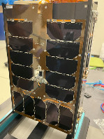
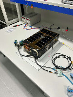
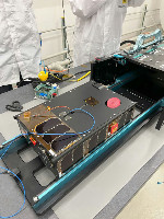
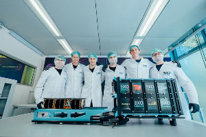
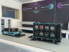
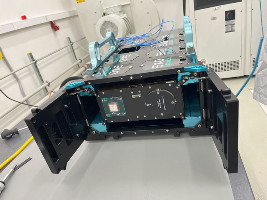
TROLL is the name of the Czech demonstration nanosatellite mission performed in commercial, new space approach, but still required to follow the ECSS. Mission’s purpose is to demonstrate new technologies, to build up experience and heritage in our territory and to be the biggest Czech satellite. An additional important condition of the whole activity is to use resources exclusively and only from the Czech Republic and countries from Three Seas Region - maximum 20% of the budget can be assigned outside of this territory.
After the successful in orbit demonstration TROLL will provide an opportunity(ies) for further demonstrations (for example in SW field) of third parties, academic institutions, students or startups.
The satellite will also include a specially modified LiDAR device, which TRL Space is developing together with the HiLASE Centre. The HiLASE Centre has as one of its strategic priorities for the next decade the development of lasers for space applications. In this context, TRL Space is a key partner with whom we can pursue these ambitions together and develop products such as LiDAR for tracking objects in space or lunar topography.
"LiDAR systems utilizing reflected photons from emitted laser pulses have a variety of uses. With the growing number of objects in space, our Flash LiDAR will provide satellites with their own precise near-object detection for collision avoidance. Similarly, a Doppler LiDAR system for detecting, tracking and characterizing close and distant objects can be used as a sensor for Space Traffic Management networks. Another application of our LiDAR systems is topography mapping with submeter resolution for planetary missions as well as Earth’s surface mapping from the Stratosyst stratospheric platform".
The first Czech customer to use the collected data will be the Czech Environmental Inspection . The high-spectral camera will be used to detect illegal landfills, pollution of waterways, and damage to vegetation. The Faculty of Science, Charles University is also participating in this project.
The TROLL satellite is equipped not only with a hyperspectral camera, but also with advanced artificial intelligence software developed by the sister startup ZAITRA . The data will be processed directly on board the satellite, which will speed up analysis and increase the efficiency of the mission. The security of communication between the satellite and the Earth will be ensured by a new encryption system from CORAC , which also belongs to the TRL Space group.
Some facts about TROLL and this mission:
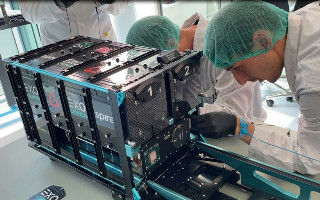
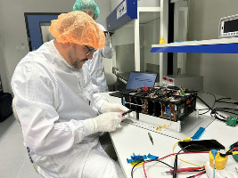
- 2 years of development journey from an idea to launch,
- 5 mission-critical subsystems provided by ISISPACE Group,
- 1637 commands and telemetry parameters accessible thanks to Bright Ascension Ltd's flight software,
- Sub-5 metre hyperspectral imager delivered by Simera Sense,
- 2 AI models for on-board image processing deployed by ZAITRA,
- Up to 60 minutes of ground station contact time ensured by Leaf Space,
- Up to L2 image processing on ground performed by World from Space,
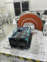
- 7 vibration test runs executed by JD Dvořák, s.r.o. facility,
- 6 precision machined parts for optical alignment and thermal control delivered by Frentech Aerospace and Tecpa,
- 3D printed metallic payload structure sintered by 3D2SPACE.
|


